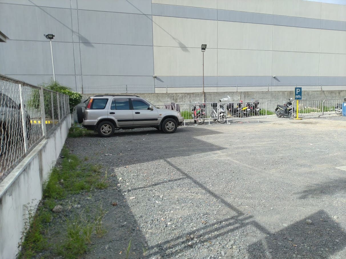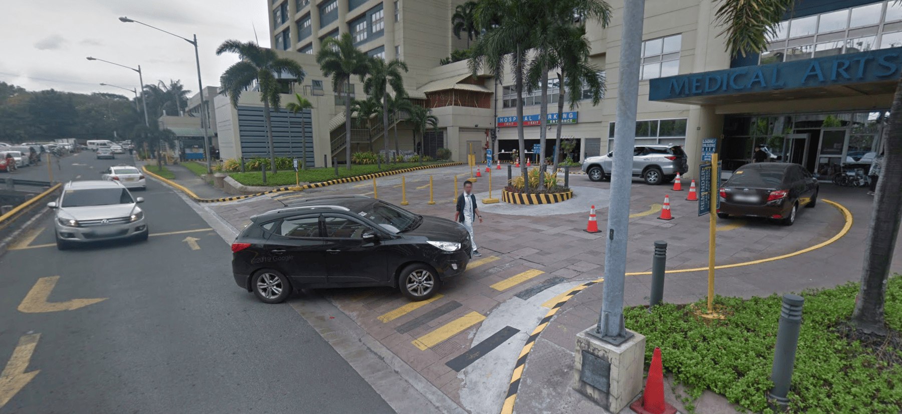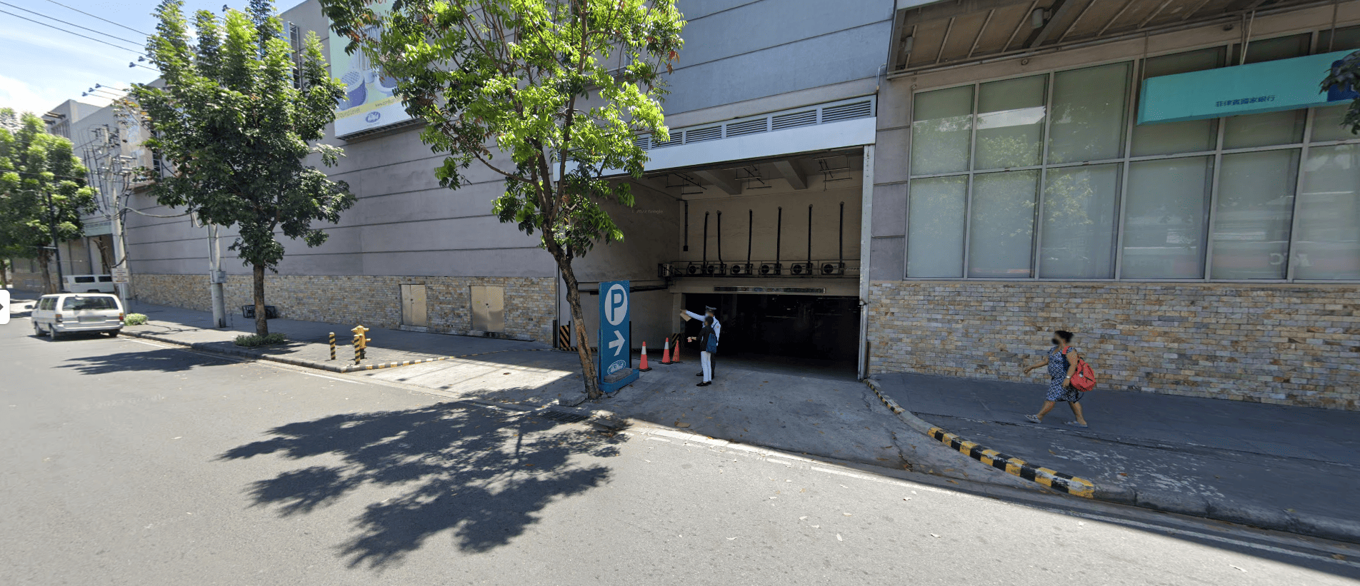
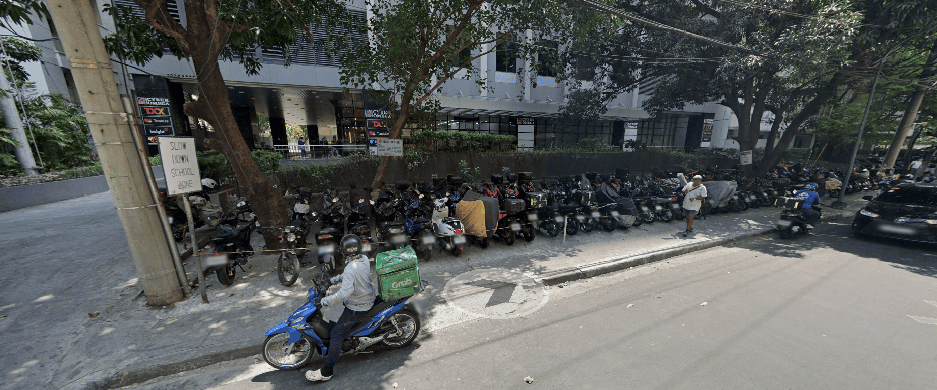
Creekside Pay Parking
₱40 flat
Open 24 hours
30 Pearl Drive Ortigas
Accepts:
1 floor
CommercialView Details
5 ranked lots in Pasig City with the lowest flood bands on government hazard maps — 5 low-risk, 0 moderate-risk. No lot in our data is zero-risk (walang lubos na ligtas sa baha); compare levels, rates, and directions below.
All parking in Pasig City · Overnight parking in Pasig City · Parking near landmarks
Advertisement
Advertisement
₱40 flat
Open 24 hours
30 Pearl Drive Ortigas
Accepts:
1 floor
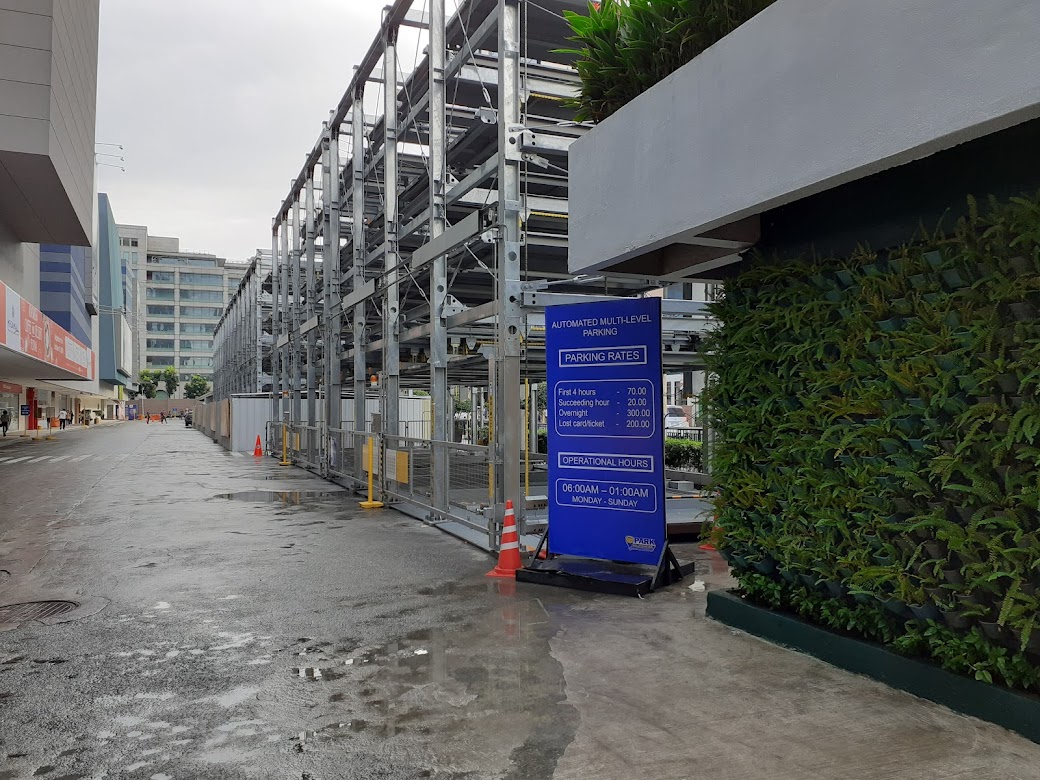
From ₱70 first 4 hrs · Overnight ₱300
6:00 AM – 1:00 AM
Ortigas Center
Accepts:
Every lot's coordinates were assessed against government hazard maps via GeoRisk/HazardHunterPH. Bands come straight from the maps: Low (code 01, below 0.5m, under a day), Moderate (code 02, 0.5–1m, 1–3 days). Lots in High (1–2m) or Very high (above 2m) bands are counted above — never ranked here.
Hazard maps update infrequently and street-level drainage varies, so always verify with HazardHunterPH and LGU or MMDA advisories during storms (bagyo).
Choose from the 5 lowest flood-risk lots ranked on this page (5 low-risk: below 0.5m waters; 0 moderate-risk: 0.5–1m), prefer upper floors or multi-level buildings, and follow MMDA and LGU advisories. For overnight shelter, pair this list with 24-hour lots in Pasig City.
No lot in our data is zero-risk. These are the lowest bands on government hazard maps (GeoRisk/HazardHunterPH): low means below-0.5m waters gone within a day, moderate means 0.5–1m for 1–3 days. Always verify with HazardHunterPH and LGU advisories during storms.
Low flood risk means modeled waters below 0.5 meters lasting under a day; moderate means 0.5 to 1 meter for 1 to 3 days (GeoRisk susceptibility codes 01–02). Higher bands (high, very high) mean deeper, longer flooding.
Advertisement
Browse more lots nearby, filter by vehicle type, or open directions in Google Maps — all free on the web.
Help Pasig City drivers find parking — it takes less than 2 minutes.